


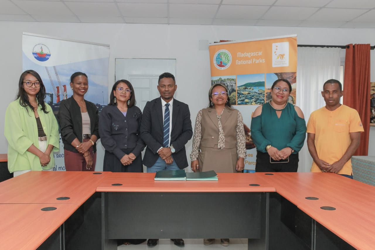
On 28 October 2026, Madagascar’s Agence Portuaire, Maritime et Fluviale (APMF) and Madagascar National Parks (MNP) signed a partnership agreement that, at first glance, looks bureaucratic. In reality, it is one of the country’s more practical steps toward making its expanding network of marine protected areas (MPAs) function as more than lines on a map. The agreement focuses on information exchange; maritime surveillance near the nine MPAs managed by MNP; studies of navigation impacts; proposals for traffic organisation and marking; awareness among sea users; and joint pursuit of funding—all framed around reducing ship-source pollution under the MARPOL Convention while respecting each institution’s legal mandate.
This is not flashy conservation theatre. It is institutional plumbing: connecting the agency responsible for navigation safety and pollution prevention with the managers of protected marine space. In a country whose exclusive economic zone covers more than 1.5 million square kilometres and whose coastal communities depend heavily on nearshore resources, that connection is overdue—and strategically smart.
The bigger picture: expanding protection amid real pressures
Madagascar has been steadily expanding its marine conservation footprint. Under the GEF6-AMP project (Expanding and Consolidating Madagascar’s Marine Protected Areas Network), supported by the Global Environment Facility, WWF, the Fondation pour les Aires Protégées et la Biodiversité de Madagascar (FAPBM), and partners such as the Wildlife Conservation Society, the country has moved toward fulfilling its 2014 Sydney World Parks Congress commitment to triple MPA coverage. Recent temporary protections have brought roughly 1.7–1.8 million additional hectares under management across sites including Atimo Vata’e (Androy, important for humpback whales); Baie d’Antongil (a key area for sharks, rays, marine mammals and humpback whale reproduction, representing more than 1% of the global humpback whale population in some seasons); Tandavandriva near Nosy Be (whale sharks and dolphins); and Sorkay Sainte-Marie.
Complementing formal MPAs, Madagascar has advanced recognition of other effective area-based conservation measures (OECMs) and strengthened locally managed marine areas (LMMAs), giving community-led efforts clearer legal footing. In September 2026, a national scientific assessment identified 425,000 km² of priority marine and coastal zones—exceeding the area needed for the 30×30 target and giving policymakers room to balance high ecological value with existing uses, especially small-scale fisheries. Additional species protections, including national safeguards for certain sharks and rays, add another layer.
These moves sit within a broader blue economy ambition. Coastal livelihoods, food security and potential tourism revenue all depend on healthier reefs, mangroves, seagrasses and fish stocks. Climate change, illegal, unreported and unregulated (IUU) fishing, and land-based and ship-source pollution threaten those foundations. The APMF–MNP partnership directly addresses one vector—ship traffic and associated pollution risks—that formal MPA designation alone cannot control.
Why this partnership is more than symbolic
Ship-source pollution—oil, harmful substances, sewage and garbage—does not respect park boundaries. Navigation risks, accidental discharges and operational practices can undermine years of conservation investment. By formalising surveillance cooperation, information-sharing protocols and joint risk analysis, the agreement reduces the classic silo problem: environmental managers lack maritime domain awareness, while maritime authorities treat protected areas as someone else’s concern.
It also aligns incentives. MNP brings on-the-ground knowledge of sensitive habitats and community dynamics. APMF brings regulatory authority under SOLAS and MARPOL, operational reach through its regional directorates, and a safety mandate that can be leveraged for environmental ends. The agreement carefully avoids creating new enforceable navigation rules outside existing legal processes, which should limit institutional friction.
If implemented with real resources—shared data platforms, joint patrols or training, rapid response protocols for pollution incidents and transparent monitoring—this model could improve compliance and deterrence around key sites. It also opens doors to external funding for collaborative projects, a practical necessity given Madagascar’s fiscal constraints.
The hard limits and risks
Expansion of paper parks is a well-documented global failure mode. Designation without effective management, enforcement capacity, sustainable financing and genuine local buy-in often produces little ecological or social gain. Madagascar’s MPAs and LMMAs face familiar challenges: limited patrol assets, capacity gaps, IUU fishing pressure, climate impacts on reefs and fisheries, and the need to deliver tangible benefits to the roughly 100,000 people dependent on areas such as Baie d’Antongil alone.
Community consultations have been part of recent designations, and co-management language is prominent. Yet translating consultation into durable power-sharing, alternative livelihoods and equitable benefit flows remains difficult. Overly restrictive rules without economic alternatives risk non-compliance or social tension. Conversely, weak rules or under-resourced management invite continued degradation.
Funding remains precarious. Project-based GEF and donor support has been essential, but long-term operational costs for surveillance, monitoring and community support require more predictable domestic and blended finance. The partnership’s emphasis on jointly seeking resources is realistic; delivery will be the test.
Finally, maritime traffic itself is growing with trade and potential offshore activity. Without careful spatial planning, new economic uses can conflict with conservation goals. The agreement’s proposed studies on navigation impacts and traffic organisation are therefore critical, not peripheral.
A pragmatic path forward
The APMF–MNP agreement is a useful institutional innovation precisely because it is modest and functional. It does not solve every problem in Madagascar’s marine governance, but it strengthens one weak joint. Success will depend on concrete follow-through: operational protocols that actually move information and trigger action; measurable reductions in pollution incidents or improved compliance metrics; inclusion of community and fisheries stakeholders where relevant; and transparent reporting.
More broadly, Madagascar’s marine strategy will succeed if it continues to treat conservation, sustainable fisheries and maritime safety as interlocking rather than competing agendas. The scientific priority mapping, expansion of formal and community-based protection, species measures and now this operational partnership form a coherent direction. International partners should support implementation capacity and sustainable finance rather than simply celebrating new hectare totals.
Madagascar’s waters hold extraordinary biodiversity and support millions of people. Protecting them effectively is both an environmental imperative and a development one. Linking the managers of parks with the guardians of ports and pollution rules is a practical step toward that goal. The real measure will be whether the partnership produces cleaner, better-surveilled and more resilient marine spaces in the years ahead—not just another signed document.